Guyana at a Glance
Government: Guyana gained its independence on May 26, 1966, and attained its Republican status on February 23, 1970, and was officially named the Co-operative Republic of Guyana. The Head of State is the President, and there is a 65-member National Assembly elected by proportional representation. General elections are held every 5 years.
Capital: Georgetown
Official Language: English
Area: 214, 970 sq. hm
Time Zone: GMT-04:00
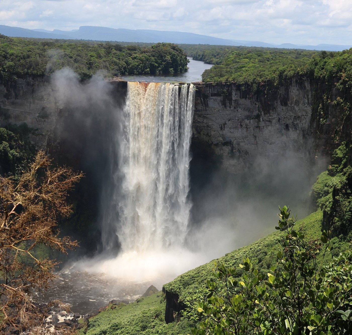
Location: The Co-operative Republic of Guyana is strategically located on the northern coast of South America, but culturally and historically tied the English-speaking Caribbean. It is divided into four geographical regions- the Low Coastal Plains, the Interior Savannahs, the Hilly,Sand and Clay, and the Forested Highland regions. Approximately 85% of Guyana’s landmass is covered by untouched forests. 90% of the population lives on the coast which is 1 to 1.5 meters below sea-level at high tide, necessitating elaborate systems of drainage canals.The most valuable mineral deposits are bauxite, gold, and diamond, with the major exports being gold and bauxite.
Climate: Guyana is a tropical destination that is pleasant and warm for most of the year, humid, moderated by northeast trade winds; two rainy seasons (May to mid-August, November to January). Mean temperature of 27⁰ C and the average temperature range from 24⁰ C to 31⁰ C. Rainfall is approximately 2, 300mm a year in Georgetown.
Population: Approx. 786, 552 with a diverse culture of six (6) different ethnicities (source: Invest Guyana).
Religion:The predominant religious groups are Christians, Hindus and Muslims. Each is well represented with its own churches, temples and mosques. They are found across the country the major landmarks featuring traditional architecture may be seen.
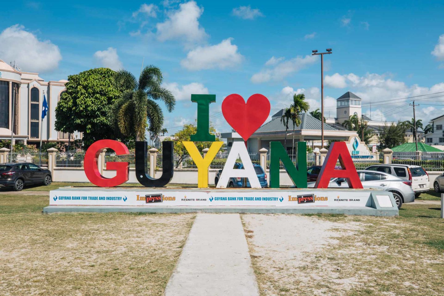
I LOVE GUYANA
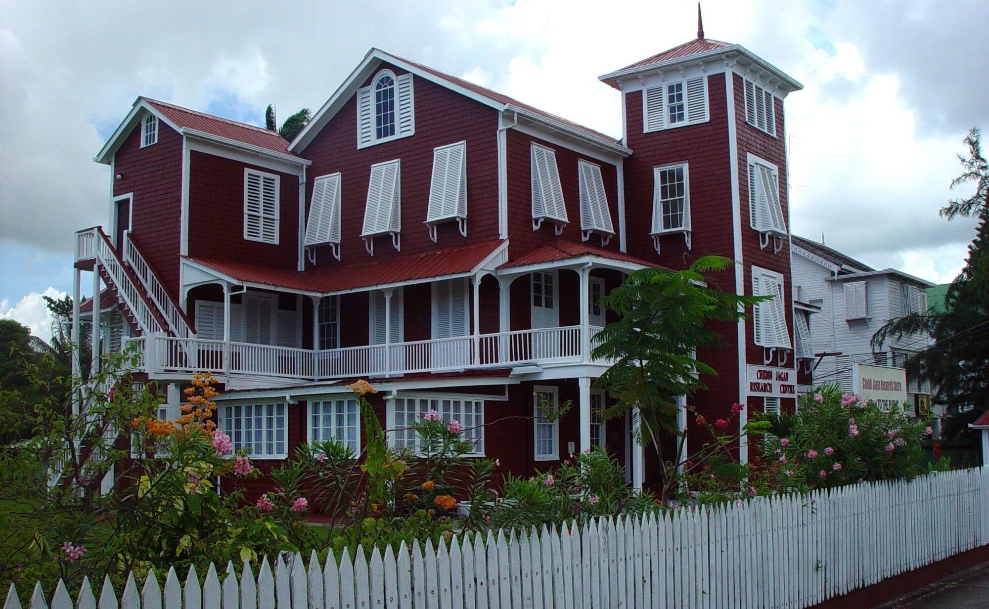
The Red House aka Kamana Court
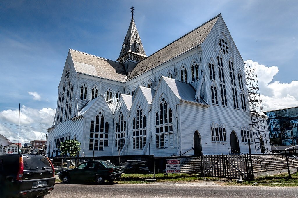
St Georges Cathedral
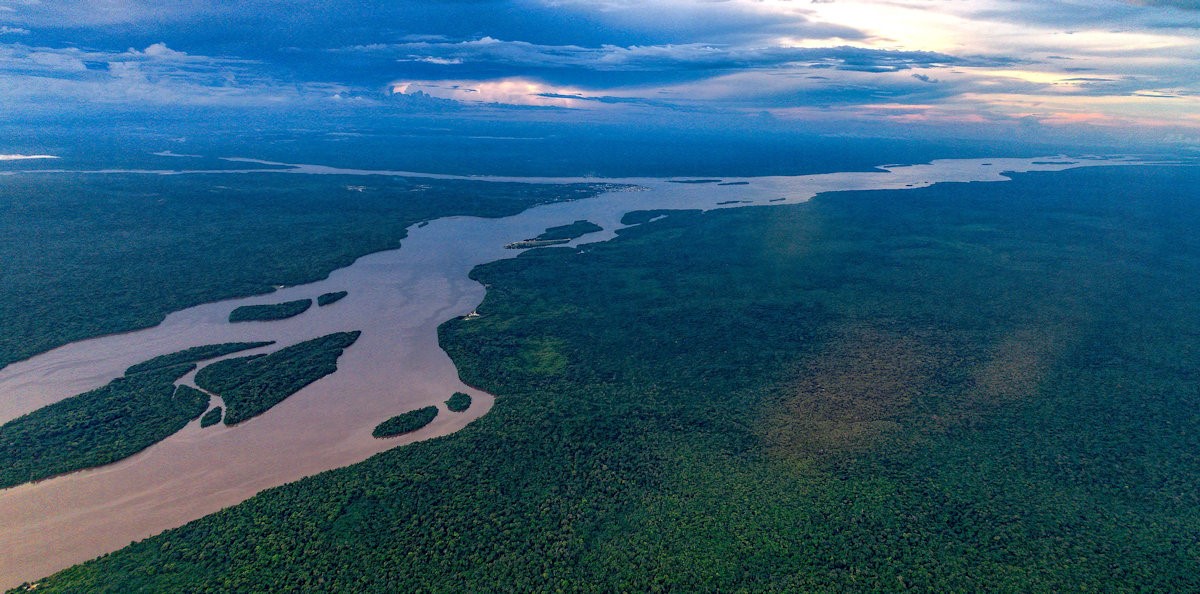
Land of many rivers
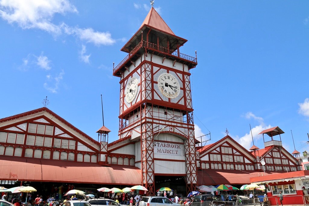
Stabroek Market